By 1808Delaware
Through our “Delaware On The Map” series, we share posts looking at the history of Delaware County as that history is revealed on maps – maps of the area, county, and nation.
The initial post in the series can be read here.
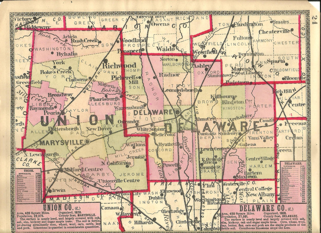
The first fifty years of Ohio statehood saw the creation of counties and establishment of county boundaries – and then a re-shuffling of those boundaries, often by taking property from one and adding it to another or to an entirely new county. All of the above happened here. One of the most interesting locations online to trace the evolution of today’s Delaware County is the Ohio page of the “Atlas of Historical County Boundaries,” a product of The Newberry Library’s Scholl Center for American History and Culture (it can be accessed here).
Delaware County was on March 31, 1808 with borders that were quite different than today’s version, having been carved out from Franklin County
Then, on March 31, 1820, Delaware County was reduced in size by the creation of Union County.
Exactly where this first version of Delaware County started and stopped can be ascertained by looking at period maps, such as the “New Map of Ohio” published by Henry S. Tanner in 1836. This map can be accessed here as a part of the David Rumsey Map Collection online.
Clicking on the map, and then using the scroll wheel of your mouse to increase or decrease the size (or pinching on your mobile phone), it is possible to zoom into see details of county boundaries. Interestingly, the primary routes shown on the map are not railroads but rather canals and very early roads.
Delaware County’s present boundaries date to changes made on February 29, 1848, when it was reduced in size yet again on the creation of Morrow County and by losing land to Marion County.
In the next installment of Delaware On The Map, we’ll look at the arrival of railroads in the 1850s and how they changed the transportation landscape of Ohio.


