
By 1808Delaware
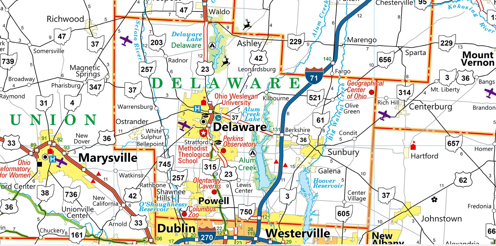
In a move that blends tradition with modern appeal, Governor Mike DeWine today announced the release of Ohio’s new state map, a key part of the “Ohio, The Heart of it All” tourism campaign. The Ohio Department of Transportation (ODOT) is distributing 1.4 million copies of this map, designed to guide both residents and visitors through the Buckeye State’s highways and attractions.
A Map That’s More Than Just Roads
“Our state map is a gateway to all things Ohio,” said Governor DeWine during the announcement. “Our new map is about more than just our roads; it’s a tool we can use to showcase all we have to offer in Ohio, the Heart of It All!”
The map, which made its debut at the 2024 Ohio State Fair, serves as a comprehensive guide to the state’s evolving transportation network. It includes the latest road changes, updated routes, and points of interest, making it a valuable resource for anyone navigating Ohio. Whether you’re a local looking to explore new areas or a tourist visiting for the first time, the map is designed to help you discover the best that Ohio has to offer.
More Than Just Directions
What sets this map apart from its predecessors is its focus on promoting Ohio’s rich tourism offerings. Sprinkled throughout are photos of popular attractions, families enjoying the outdoors, and notable locations that highlight the diversity of experiences available across the state. The map also features facts about Ohio, useful contact information for the Ohio State Highway Patrol, details about the state’s distracted driving law, and reminders for drivers to move over and slow down for roadside workers.
“Online navigation services can go offline. Cell service can drop. It’s always smart to have a hard copy back-up in your vehicle with you,” said ODOT Director Jack Marchbanks. “Whether you are taking your family to explore one of our state’s beautiful parks or attractions, planning a business trip, or need to plot the best route to get from point A to point B, Ohio’s new state map will get you there.”
Accessibility for All
To ensure that the map is accessible to everyone, ODOT is offering free copies at rest areas across the state. Additionally, for those who prefer to plan ahead, copies can be ordered online through ODOT’s website. This effort to distribute the map widely underscores its importance as a tool for both safety and exploration.
The production of the maps was handled by RR Donnelly, a printing company based in Macedonia, Ohio, ensuring that the project supported local industry as well.
A Legacy of Mapping Ohio
Ohio’s commitment to keeping its residents and visitors well-informed through state maps is not new. The first official state map was published in 1912, marking over a century of cartographic tradition. The 2024 edition continues this legacy, combining time-tested practicality with a modern flair that reflects Ohio’s evolving identity as the “Heart of it All.”
Get Your Copy
You can view and download the new Ohio map here, and order a free copy here.