
By 1808Delaware
Long before interstates carved their wide, fast lines across Ohio, there was a road that did something simpler and, in many ways, more enduring. It connected places. Not just towns, but the state itself.
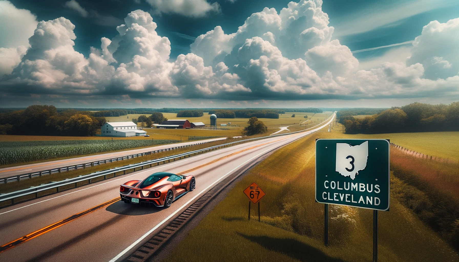
The route we now know as Ohio State Route 3 began as something more evocative: the “Three C Highway,” a name drawn from the shared first letter of Ohio’s three largest cities—Cleveland, Columbus, and Cincinnati. It was not merely a road. It was THE road.
Before Numbers, There Was a Route
In the early 1900s, as automobiles began reshaping how Americans moved, informal “auto trails” emerged across the country. Among them was the Three C Highway, appearing as early as 1918 on Rand McNally maps. It was not yet a state route. Instead, it was a stitched-together corridor of existing roads, collectively known on 1910s maps as Main Market Route 10. By 1923, as Ohio formalized its highway system, this path was designated State Route 3.
The alignment largely followed what travelers had already come to rely on: a direct, practical line between Cincinnati and Cleveland, passing through the center of the state. It became one of the defining infrastructure projects of the 1920s “Get Ohio out of the mud” movement, when paving roads was as much about economic survival as convenience.
A Spine Through the State
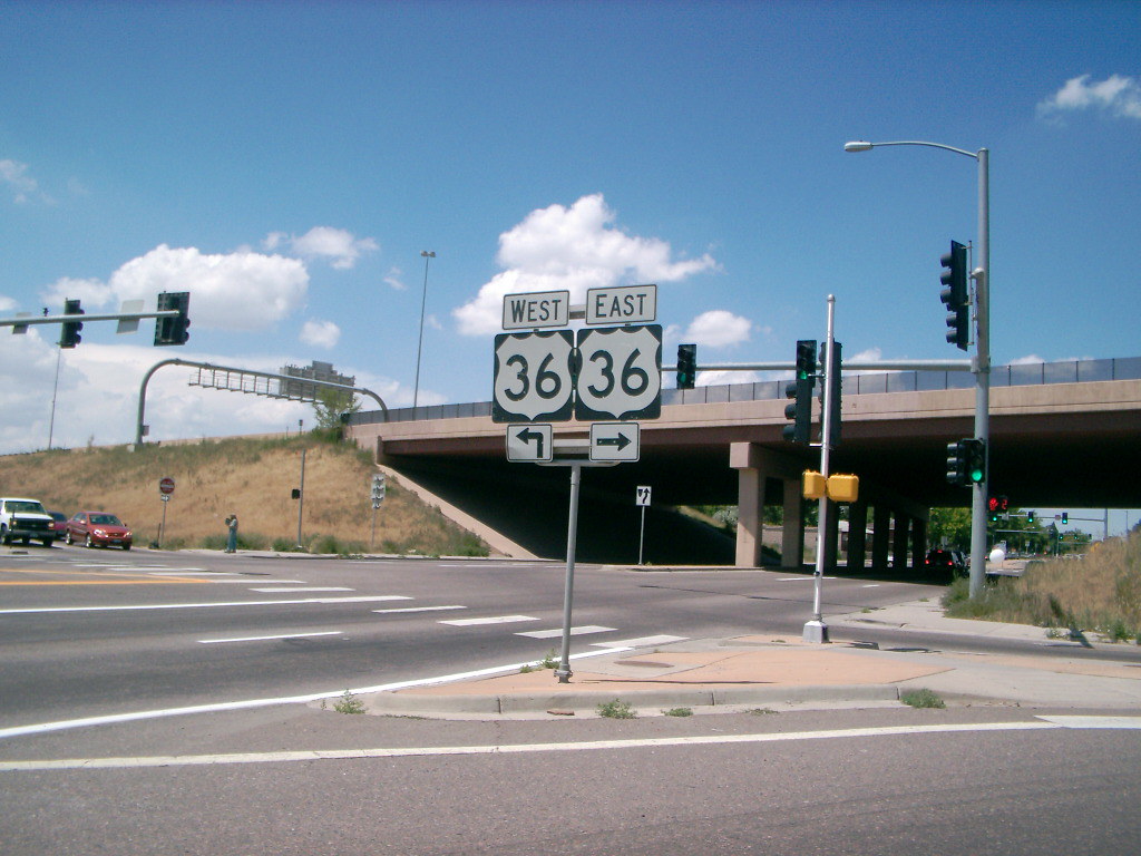
At 248.5 miles, Route 3 remains the second-longest state highway in Ohio. It stretches from downtown Cincinnati to Public Square in Cleveland, crossing 14 counties and passing through eight county seats. For decades, this was the primary overland route between the three cities. Travelers used it to reach the Ohio State Fair, to attend games at Ohio State University, and to move goods and ideas across the state.
Its path through central Ohio tells that story clearly. From Washington Court House, it joins U.S. 62 into Columbus, then continues north through Delaware County and beyond—linking communities like Westerville, Sunbury, Mount Vernon, Wooster, and Medina before reaching Cleveland.
The Road You Can Still See

What makes the Three C Highway especially compelling is that it never fully disappeared. It just split.
Beginning in the 1950s, Ohio undertook a series of improvements to straighten curves, eliminate railroad crossings, and move traffic more efficiently. New alignments were built. Bypasses were constructed. Bridges were replaced. And the original road was left behind—still intact, still drivable, but renamed.
That is where “Old 3-C Highway” comes from.
In Delaware County, roughly twelve miles of the original alignment remain visible between Westerville and North Condit. The road loops through Galena and skirts what is now Hoover Reservoir, tracing a path that predates mid-century engineering. North of Sunbury, the pattern repeats. The old road wanders, bends, and reconnects with the modern route, offering a physical reminder of how roads once followed the land instead of cutting through it.
Elsewhere, similar changes occurred. Near Clarksville, a new alignment in the 1950s eliminated hazardous rail crossings. North of Sunbury, smaller relocations smoothed out curves and replaced aging bridges.
When the Interstate Took Over
The most significant shift came with the construction of Interstate 71. Running in the same Cincinnati–Columbus–Cleveland corridor, I-71 absorbed long-distance travel. What had once been the state’s primary route became, gradually, a regional one.
There was even a moment of overlap. In the early 1960s, a stretch of Route 3 near Columbus was moved onto a freeway alignment that later became part of I-71. By 1967, Route 3 was returned to surface roads, leaving the interstate as the high-speed corridor.
On the ground, the effects were immediate. Towns like Galena and Sunbury saw through-traffic bypassed. Business districts that once depended on passing travelers became local destinations instead. The rhythm of daily life shifted, not because the road disappeared, but because it no longer carried the same kind of movement.
A Road That Refuses to Disappear
Despite those changes, Route 3 remains one of Ohio’s most enduring highways. It is still signed, traveled, and largely relevant. It carries an additional designation—the Thirty-seventh Division Memorial Highway—and continues to function as a regional arterial, even as I-71 handles the bulk of long-distance traffic.
What It Means Today
For most drivers, Route 3 is simply a way to get from one place to another. But for those who look a bit closer, it offers something else entirely.
It is one of the oldest named routes in the state, predating the highway system itself. It reflects an era when roads were assembled rather than engineered, when travel was slower but perhaps more connected to place. And in counties like Delaware, where the old alignment still surfaces in road signs and addresses, it is not just history.

Sources: Wikipedia, History of Ohio Highways, ODOT, Mansfield News Journal, Ohio Lincoln Highway League; Photo: DALL-E 3